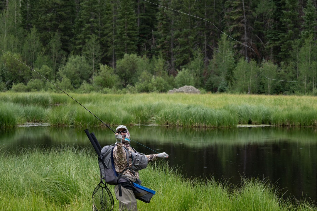
Henry's Fork
Most USGS water flow gages in the Henry’s Fork drainage remain iced in place, so no flow readings are available. However, bankside snow is leaving downstream of the Ora Bridge, so this new month will soon offer some pre-runoff fishing. Midge hatches are ongoing with BWOs beginning to show. This is a great time of year to enjoy this fishery.
Flies to fish:
Some words of clarification from Dr. Rob Van Kirk, Science and Technology Director, Henry’s Fork Foundation follow.
The terms “water supply” and “natural streamflow” mean the same thing: the total amount of streamflow doled out to the river system by the watershed from snow, rain, and groundwater springs. Management such as reservoir storage and delivery and irrigation diversion determine the actual amount of streamflow in a reach of river at any given time, but natural flow is independent of management and is the finite amount of water we have to work with.
The depth of snow on the ground does not determine water supply for the spring and summer. How much water is in the snow determines spring and summer water supply. So we report snow water equivalent (SWE). SWE is the depth of water obtained from the snow if it were melted. For example, it takes my straight-sided pasta pot, filled with snow, and then melted so the resulting depth of water in the pot would be the SWE. One foot of typical dry, mid-winter snow would melt to around 1 inch of water, whereas one foot of old, compacted snow late in the winter might have 4 inches or more of SWE in it.